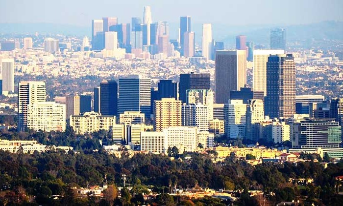
Homes, condos and land for sale and rent in Mid-City, LA
Attractions include restaurants and a post office named for singer Ray Charles, who had his recording studio in Mid-City. The neighborhood hosts eleven public and private schools. A north-south light-rail line is proposed for the area.
Mid-City was said to be “highly diverse” when compared to the city at large, with a diversity index of 0.637. The ethnic breakdown in 2000 was: Latinos, 45.2%; blacks, 38.3%; whites, 9.5%; Asians, 3.9%; and others, 3.1%. Mexico (46) and El Salvador (15.6%) were the most common places of birth for the 35.1% of the residents who were born abroad, a figure that was considered average for the city and county.
The median household income in 2008 dollars was $43,711, considered average for the city. The percentage of households earning $20,000 or less was high, compared to the county at large. The average household size of 2.8 people was just about average for Los Angeles. Renters occupied 68.9% of the housing units, and home- or apartment owners the rest.
The percentages of never-married men (43.2%) and never-married women (35%) were among the county’s highest. The census found 2,748 families headed by single parents, the 23.4% rate being considered high for both the city and the county.
Smaller named areas within the Mid-City neighborhood are Brookside, Crestview, Fremont Place, Lafayette Square, Little Ethiopia, Picfair Village, Wellington Square, and Victoria Park.
Mid-city residents aged 25 and older holding a four-year degree amounted to 16.8% of the population in 2000, about average for both the city and the county.
These are the elementary or secondary schools within the neighborhood’s boundaries:
- Hamilton High School, 2955 Robertson Boulevard, which opened in fall 1931, with Thomas Hughes Elson as the principal. At the time, its attendance boundaries included Culver City and in 1932 they extended as far north as Mulholland Highway.
- Saturn Street Elementary School, 5360 Saturn Street
- Alta Loma Elementary School, 1745 Vineyard Avenue
- Shenandoah Street Elementary School, 2450 Shenandoah Street
- Futuro College Preparatory Elementary School, LAUSD charter, 3838 Rosemead Avenue
- Crescent Heights Boulevard Elementary School, alternative school, 1661 South Crescent Heights Boulevard
- Los Angeles Center for Enriched Studies, alternative school, 5931 West 18th Street
Private schools
- Pico Elementary School, 4436 West Pico Boulevard
- Holy Spirit Elementary School, 1418 South Burnside Avenue
- Play Mountain Place, 6063 Hargis Street
- Donna Ro School, private, 4946 West 20th Street
The Pacific Electric Red Car lines heading west from downtown Los Angeles diverged at Vineyard Junction. One line continued on to Beverly Hills, while the other went out to Venice Beach. The old Vineyard Junction site is now occupied by the end terminal for the Santa Monica Big Blue Bus.
The Crenshaw Light Rail Line would allow Mid-City residents to easy access to the city’s east/west rail lines: the Purple Line along Wilshire Boulevard, the Expo Line from Downtown Los Angeles to Culver City, and the Green Line from Norwalk to Redondo Beach.
Currently, the Mid-City alignment is unfunded, and part of the Crenshaw Corridor’s “Northern Feasibility Study”.
All Popular Los Angeles Neighborhoods
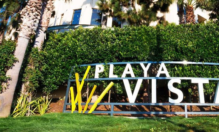
Homes for sale in Playa Vista (Los Angeles), CA
Homes, condos and land for sale and rent in Playa Vista, LA Playa Vista is a neighborhood located in the Westside of the City of Los Angeles, California, United States, north of LAX. Prior to the development [...]
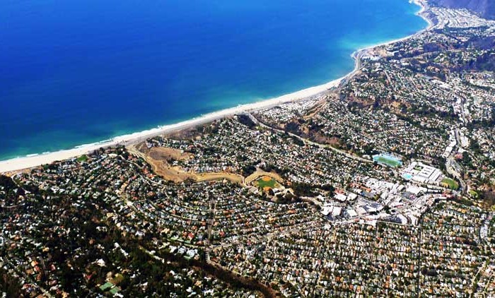
Homes for sale in Pacific Palisades (Los Angeles), CA
Homes, condos and land for sale and rent in Pacific Palisades, LA Pacific Palisades is a coastal neighborhood in the Westside of the city of Los Angeles, California, located among Brentwood to the east, Malibu and Topanga [...]
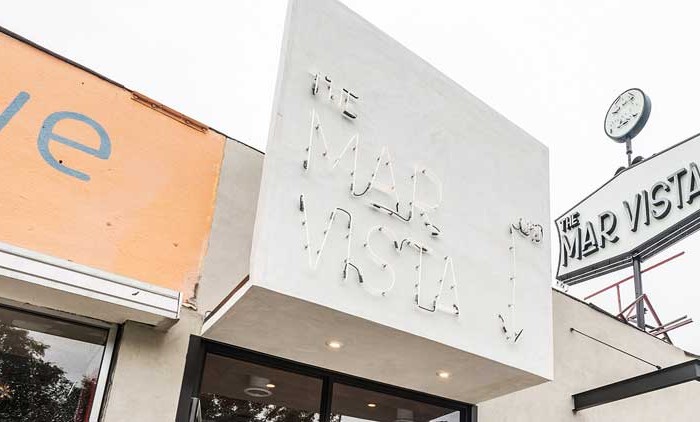
Homes for sale in Palms & Mar Vista (Los Angeles), CA
Homes, condos and land for sale and rent in Palms & Mar Vista, LA Palms (originally "The Palms") is a highly diverse, densely populated[1] community in the Westside region of Los Angeles, California, founded in 1886 and [...]
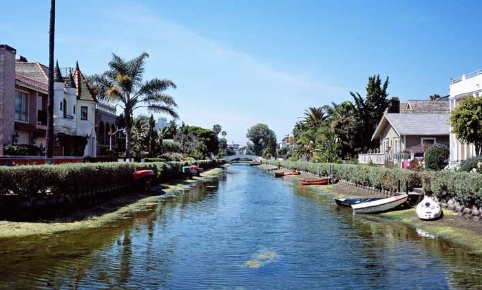
Homes for sale in Venice (Los Angeles), CA
Homes, condos and land for sale and rent in Venice, LA Venice is a residential, commercial and recreational beachfront neighborhood on the Westside of the Californian city of Los Angeles. Venice was founded in 1905 as a [...]
Homes for sale in Westwood, Century City (Los Angeles), CA
Homes and condos for sale and rent in Westwood & Century City, LA Westwood Westwood is a commercial and residential neighborhood in the northern central portion of the Westside region of Los Angeles, California. It is the [...]
Homes for sale in Westchester (Los Angeles), CA
Homes, condos and land for sale and rent in Westchester, LA Westchester is a neighborhood that straddles Los Angeles and the Westside Region of Los Angeles County, California. The neighborhood is part of the city of Los [...]
Homes for sale in Mid-Wilshire (Los Angeles), CA
Homes, condos and land for sale and rent in Mid-Wilshire, LA Mid-Wilshire is a densely populated residential neighborhood in the central region of Los Angeles, California. Its commercial and public-use areas also make it the site of [...]
Homes for sale in Mid-City (Los Angeles), CA
Homes, condos and land for sale and rent in Mid-City, LA Mid-City is a highly diverse, very dense urban neighborhood in Central Los Angeles, California, with renters occupying most of the housing space but also with notable [...]
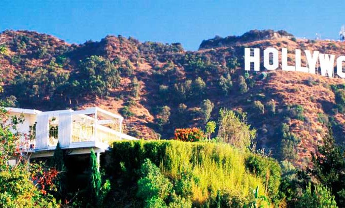
Homes for sale in Hollywood (Los Angeles), CA
Homes, condos and land for sale and rent in Hollywood, LA Hollywood is a neighborhood in the central region of Los Angeles, California. The neighborhood is notable for its place as the home of the U.S. film [...]
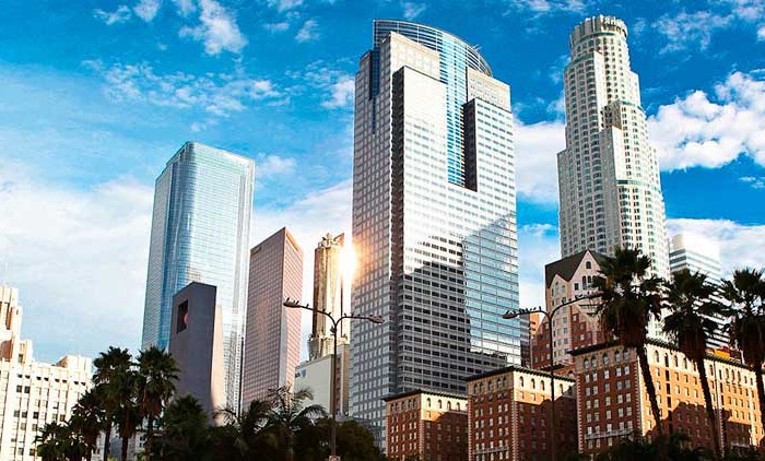
Homes and condos for sale in Downtown Los Angeles, CA
Homes, condos and land for sale and rent in Downtown, LA Downtown Los Angeles is the central business district of Los Angeles, California, as well as a diverse residential neighborhood of some 50,000 people. A 2013 study [...]
Homes for sale in Del Rey (Los Angeles), CA
Homes, condos and land for sale and rent in Del Rey, LA Del Rey is a highly diverse neighborhood in the Westside of Los Angeles, surrounded on three sides by Culver City, California. Within it lie a [...]
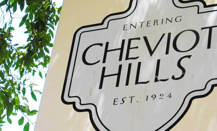
Homes for sale in Cheviot Hills (Los Angeles), CA
Homes, condos and land for sale and rent in Cheviot Hills, LA Cheviot Hills is an affluent neighborhood of single-family homes on the Westside of the city of Los Angeles, California. Founded in 1924, the neighborhood has [...]
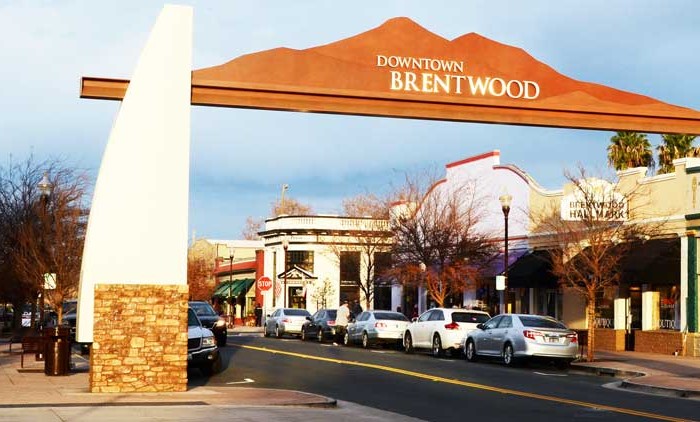
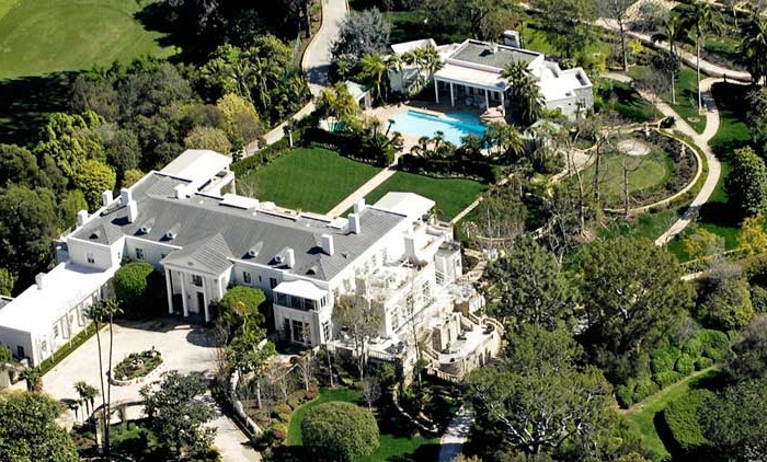
Homes for sale in Brentwood (Los Angeles), CA
Homes, condos and land for sale and rent in Brentwood, LA Brentwood is an affluent neighborhood in the Westside of Los Angeles, California. It is the home of seven private and two public schools. Originally part of [...]
Homes for sale in Bel Air (Los Angeles), CA
Homes, condos and land for sale and rent in Bel Air, LA Bel Air, Bel-Air or Bel Air Estates is a neighborhood in Los Angeles, California. The neighborhood, which lies across Sunset Boulevard from the University [...]