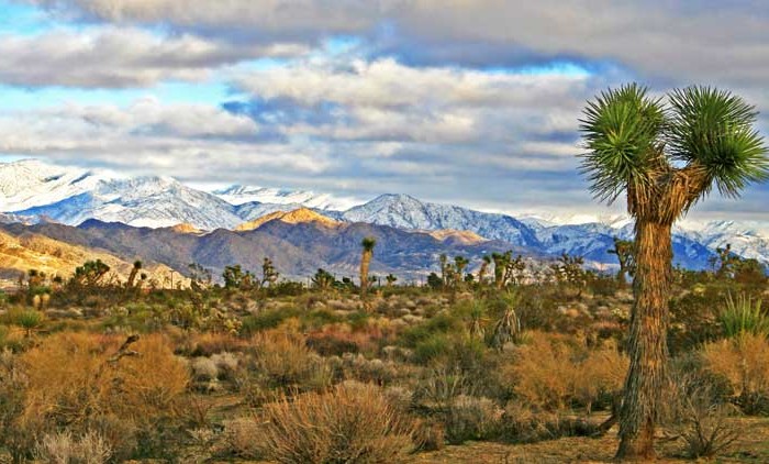
Homes, condos and land for sale and rent in Victorville, CA
In the 1870s, Heber “Pete” Huntington established a stage stop, Huntington Station, at Mormon Crossing. Also a Mormon pioneer, Huntington was leader Brigham Young’s nephew. Huntington later bought out the Stoddard brothers, who had a way station half way to today’s Barstow from Victorville, and also bought out the Meachams, who ran the stage stop named Fish Ponds or Mormon Grocery.
In 1901, at the suggestion of local postmistress Abbey Turner, the U.S. Post Office Department changed that name to Victorville to stop the postal confusion with the town of Victor, Colorado.
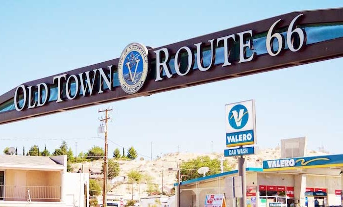
In 1926, U.S. Route 66 was begun, being marked in many areas on existing roads. In Victorville, US 66 is marked on D and Seventh streets, with a section of Interstate 15 going towards the Cajon Pass. It is the primary street through Old Town Victorville.
In 1940, Herman J. Mankiewicz and John Houseman wrote the first two drafts of the screenplay for the film Citizen Kane in Victorville. They worked in seclusion for 12 weeks while residing at the North Verde Ranch, now called the Kemper Campbell Ranch.
The Victorville Army Airfield was constructed beginning in 1941. It was renamed as the George Air Force Base when the U.S. Air Force was established in October 1947. After decades of service to the Air Force, in 1992 George Air Force Base was closed.
Its land was turned over to other uses. Part of it is now the Southern California Logistics Airport. The former Air Force base housing area is now vacant. It forms a ghost town that is used for military training by troops from the U.S. Army’s Fort Irwin Military Reservation. The Victorville Federal Penitentiary has been built on another part of the former air base.
The city of Victorville was officially incorporated by the State of California on September 21, 1962.
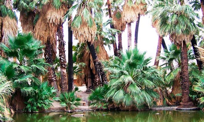
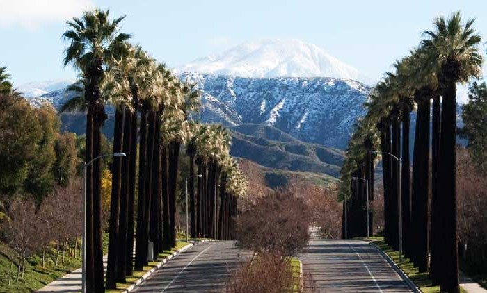
Victorville is bordered by Apple Valley on the east, Hesperia on the south, and Adelanto on the west. The Mojave River flows sporadically through Victorville. The elevation at City Hall is approximately 2,950 feet (900 m) above sea level.
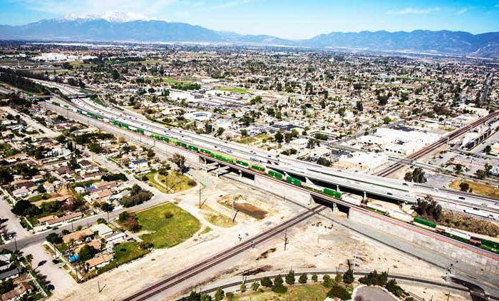
According to the United States Census Bureau, the city has a total area of 73.7 square miles (191 km2). 73.2 square miles (190 km2) of it is land and 0.6 square miles (1.6 km2) of it is water. The total area is 0.76% water.
The average annual precipitation in Victorville is 6.27 inches (159 mm). There is an average of 28 days annually with measurable precipitation. The wettest year recorded was 1983 with 13.42 inches (341 mm) and the driest year recorded was 1953 with 1.27 inches (32 mm). The most precipitation in one month was 5.45 inches (138 mm) in February 1944. The most precipitation in 24 hours was 3.00 inches (76 mm) on February 24, 1998. Snowfall in Victorville averages only 1.4 inches (36 mm) annually. The most snowfall in one month was 38.0 inches (970 mm) in January 1949, including 31.0 inches (790 mm) on January 14. Snowfall is rather common during the winter months in the higher mountains south of Victorville, especially around Cajon Pass.
The Census reported that 110,800 people (95.6% of the population) lived in households, 341 (0.3%) lived in non-institutionalized group quarters, and 4,762 (4.1%) were institutionalized.
There were 32,558 households, out of which 17,256 (53.0%) had children under the age of 18 living in them, 17,036 (52.3%) were opposite-sex married couples living together, 6,487 (19.9%) had a female householder with no husband present, 2,397 (7.4%) had a male householder with no wife present. There were 2,478 (7.6%) unmarried opposite-sex partnerships, and 258 (0.8%) same-sex married couples or partnerships. 5,081 households (15.6%) were made up of individuals and 1,954 (6.0%) had someone living alone who was 65 years of age or older. The average household size was 3.40. There were 25,920 families (79.6% of all households); the average family size was 3.77.
The population was spread out with 38,023 people (32.8%) under the age of 18, 12,136 people (10.5%) aged 18 to 24, 33,479 people (28.9%) aged 25 to 44, 22,853 people (19.7%) aged 45 to 64, and 9,412 people (8.1%) who were 65 years of age or older. The median age was 29.5 years. For every 100 females there were 100.4 males. For every 100 females age 18 and over, there were 99.1 males.
There were 36,655 housing units at an average density of 497.1 per square mile (191.9/km²), of which 20,137 (61.8%) were owner-occupied, and 12,421 (38.2%) were occupied by renters. The homeowner vacancy rate was 4.9%; the rental vacancy rate was 11.1%. 66,600 people (57.5% of the population) lived in owner-occupied housing units and 44,200 people (38.1%) lived in rental housing units.
During 2009–13, Victorville had a median household income of $50,034, with 25.3% of the population living below the federal poverty line.
Notable changes made in Old Town Victorville are the Veteran’s Memorial on the corner of Seventh Street and Forrest Ave, the Route 66 Museum on D Street, the Transportation Center on D Street, and the Old Victor School on Sixth Street.
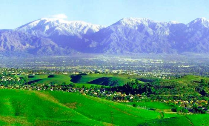
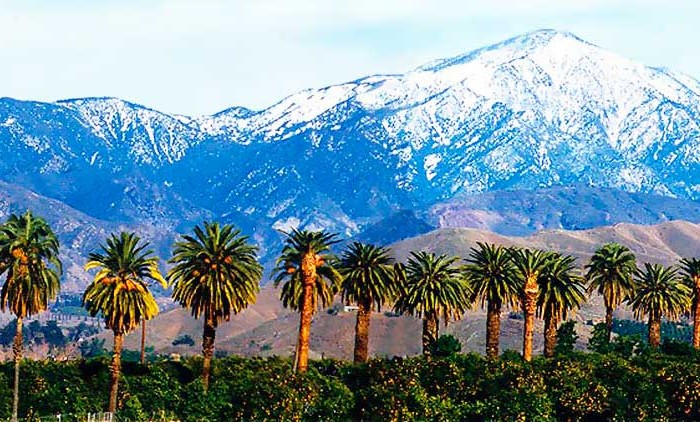
Other cities in San Bernardino County
San Bernardino Real Estate for sale and rent
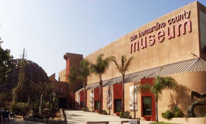
Homes, condos and land for sale and rent in San Bernardino, CA San Bernardino is a city located in the Riverside-San Bernardino metropolitan area (sometimes called the "Inland Empire"). It serves as the county seat [...]
Big Bear Lake Real Estate for sale and rent
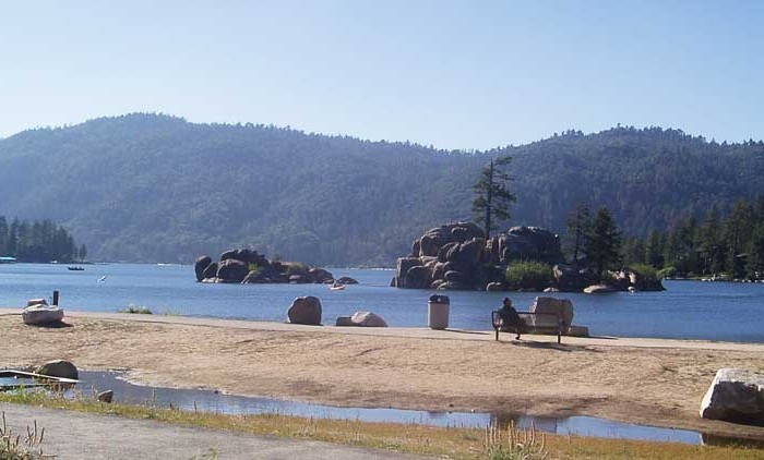
Homes, condos and land for sale and rent in Big Bear, CA Big Bear Lake is a small city in San Bernardino County, California, located in the San Bernardino Mountains along the south shore of [...]
Fontana Real Estate for sale and rent
Homes, condos and land for sale and rent in Fontana, CA Fontana is a city of 203,003 residents in San Bernardino County, California. Founded by Azariel Blanchard Miller in 1913, it remained essentially rural until [...]
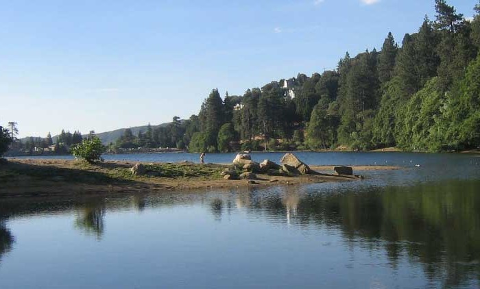
Lake Arrowhead Real Estate for sale and rent
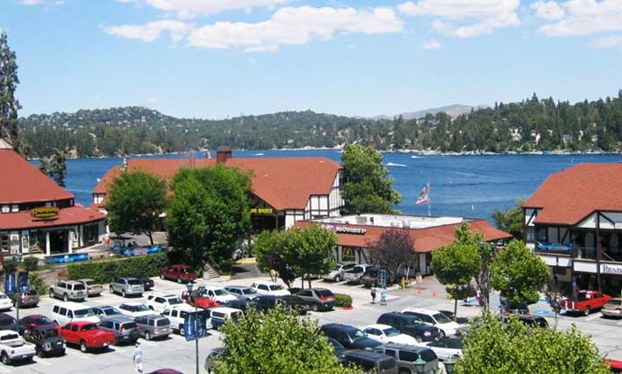
Homes, condos and land for sale and rent in Lake Arrowhead, CA Lake Arrowhead is an unincorporated community and a census-designated place (CDP) in the San Bernardino Mountains of San Bernardino County, California, within the [...]
Victorville Real Estate for sale and rent
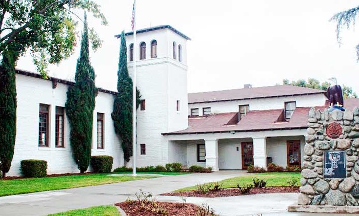
Homes, condos and land for sale and rent in Victorville, CA In 1858, Aaron G. Lane came to what is now known as Victorville and founded a way station called "Lane's Crossing." For many years [...]
Rancho Cucamonga Real Estate for sale and rent
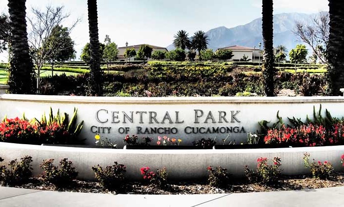
Homes, condos and land for sale and rent in Rancho Cucamonga, CA Rancho Cucamonga is a suburban city situated at the foothills of the San Gabriel Mountains in San Bernardino County, California. It is located [...]
Apple Valley Real Estate for sale and rent
Homes, condos and land for sale and rent in Apple Valley, CA The Town of Apple Valley is located in the Victor Valley of San Bernardino County, in the U.S. state of California. It was [...]
Ontario Real Estate for sale and rent
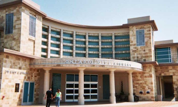
Homes, condos and land for sale and rent in Ontario, CA Ontario is a city located in southwestern San Bernardino County, California, United States, 35 miles (56 km) east of downtown Los Angeles. Located in [...]
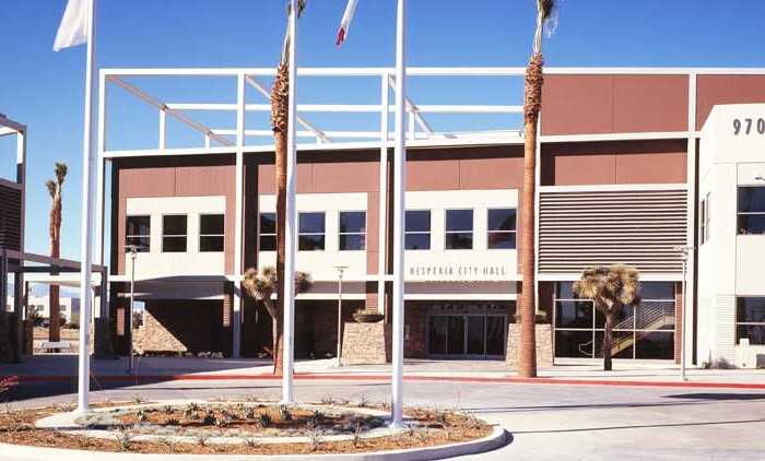
Hesperia Real Estate for sale and rent
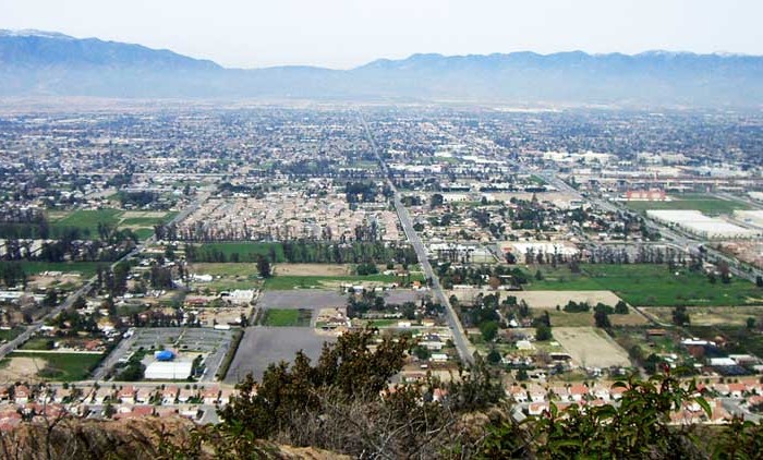
Homes, condos and land for sale and rent in Hesperia, CA Hesperia is a city in San Bernardino County, California, United States 35 miles (56 km) north of San Bernardino in Victor Valley. This portion [...]
Chino Hills Real Estate for sale and rent
Homes, condos and land for sale and rent in Chino Hills, CA Chino Hills is an affluent city located in the southwestern corner of San Bernardino County, California, United States. The city borders Los Angeles [...]
Redlands Real Estate for sale and rent
Homes, condos and land for sale and rent in Redlands, CA Redlands is a city in San Bernardino County, California, United States. It is a part of the Greater Los Angeles area. As of the [...]
Chino Real Estate for sale and rent
Homes, condos and land for sale and rent in Chino, CA Chino is a city in San Bernardino County, California, United States. It is located in the western end of the Riverside-San Bernardino Area and [...]
Yucca Valley Real Estate for sale and rent
Homes, condos and land for sale and rent in Yucca Valley, CA Yucca Valley is an incorporated town in San Bernardino County, California, United States. The population was 20,700 as of the 2010 census. Yucca [...]
Rialto Real Estate for sale and rent
Homes, condos and land for sale and rent in Rialto, CA Rialto is a city in San Bernardino County, California, United States. The population was 99,171 with the 2010 Census. Rialto is home to four [...]
Yucaipa Real Estate for sale and rent
Homes, condos and land for sale and rent in Yucaipa, CA Yucaipa is a city located 10 miles (16 km) east of San Bernardino, in San Bernardino County, California, United States. The population was 51,367 [...]
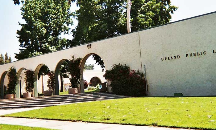
Upland Real Estate for sale and rent
Homes, condos and land for sale and rent in Upland, CA Upland is a city in San Bernardino County, California, in the United States. The municipality is located at an elevation of 1,242 feet (379 [...]
Twentynine Palms Real Estate for sale and rent
Homes, condos and land for sale and rent in Twentynine Palms, CA Twentynine Palms (also known as 29 Palms) is a city in San Bernardino County, California, United States. It was previously called Twenty-Nine Palms. [...]
Highland Real Estate for sale and rent
Homes, condos and land for sale and rent in Highland, CA Highland is a city in San Bernardino County, California, United States. The population in 2010 (US Census) was 53,104, up from 44,605 at the [...]
Crestline Real Estate for sale and rent
Homes, condos and land for sale and rent in Crestline, CA Crestline is a census-designated place in the San Bernardino Mountains of San Bernardino County, California, USA. The population was 10,770 at the 2010 census, [...]
Colton Real Estate for sale and rent
Homes, condos and land for sale and rent in Colton, CA Colton is a city in San Bernardino County, California, United States. The city is located in the Inland Empire region of the state and [...]