Choose your city in Riverside county, California!

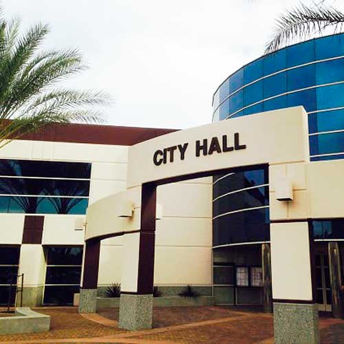
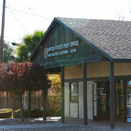
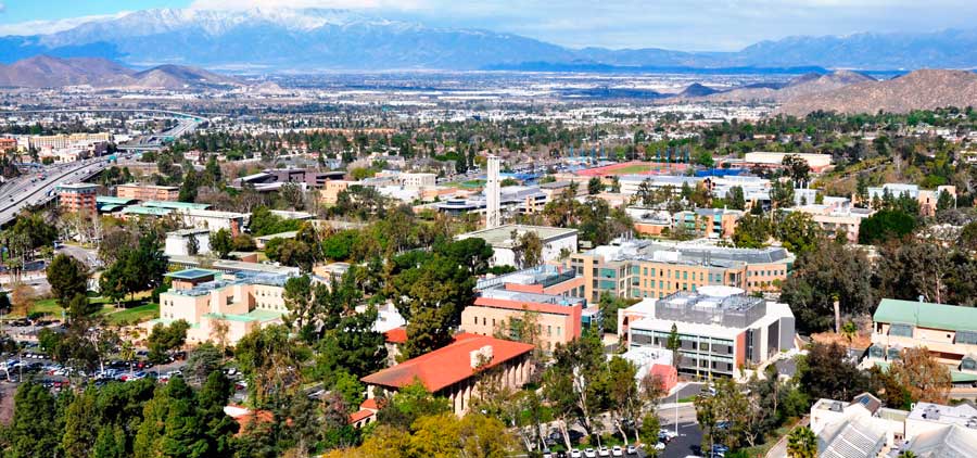
The new county was created from parts of San Bernardino County and San Diego County. On May 2, 1893, seventy percent of voters approved the formation of Riverside County. Voters chose the city of Riverside as the county seat, also by a large margin. Riverside County was officially formed on May 9, 1893, when the Board of Commissioners filed the final canvass of the votes.
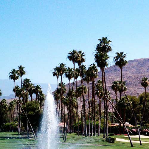
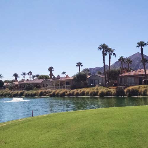
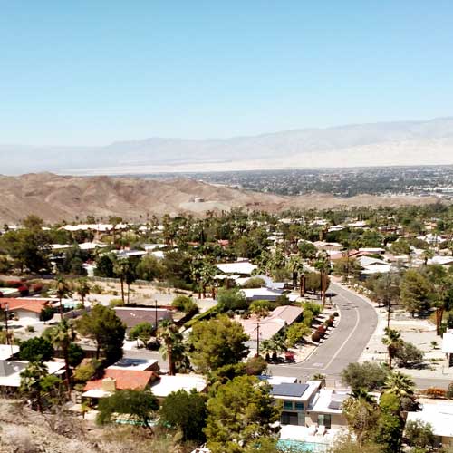
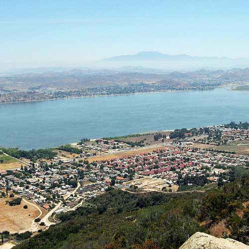
According to the U.S. Census Bureau, the county has a total area of 7,303 square miles (18,910 km2), of which 7,206 square miles (18,660 km2) is land and 97 square miles (250 km2) (1.3%) is water. It is the fourth-largest county in California by area. At roughly 180 miles (290 km) wide in the east-west dimension, the area of the county is massive. Riverside County, California is roughly the size of the State of New Jersey in total area.
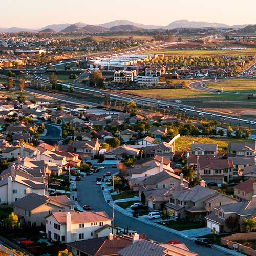
The 2010 United States Census reported that Riverside County had a population of 2,189,641. The racial makeup of Riverside County was 1,335,147 (61.0%) White (40.7% Non-Hispanic White), 140,543 (6.4%) African American, 23,710 (1.1%) Native American, 130,468 (6.0%) Asian (2.3% Filipino, 0.8% Chinese, 0.7% Vietnamese, 0.6% Korean, 0.5% Indian, 0.2% Japanese, 0.1% Cambodian, 0.1% Laotian, 0.1% Pakistani), 6,874 (0.3%) Pacific Islander, 448,235 (20.5%) from other races, and 104,664 (4.8%) from two or more races. Hispanic or Latino of any race were 995,257 persons (45.5%); 39.5% of Riverside County is Mexican, 0.8% Salvadoran, 0.7% Honduran, 0.6% Puerto Rican, 0.3% Cuban, and 0.2% Nicaraguan.
Riverside County has 12 federally recognized Indian reservations, which ties it with Sandoval County, New Mexico for second most of any county in the United States. (Sandoval County, however, has two additional joint-use areas, shared between reservations. San Diego County, California has the most, with 18 reservations.)
The median income for a household in the county was $42,887, and the median income for a family was $48,409. Males had a median income of $38,639 versus $28,032 for females. The per capita income for the county was $18,689. About 10.7% of families and 14.2% of the population were below the poverty line, including 18.5% of those under age 18 and 7.6% of those age 65 or over.

Palm Desert

Palm Desert

Area
Total: 27.014 sq mi
Land: 26.810 sq mi
Water: 0.204 sq mi

Population (2010)
Total: 48,445
Density: 1,800/sq mi

View all listings

La Quinta

La Quinta

Area
Total: 35.551 sq mi
Land: 35.117 sq mi
Water: 0.434 sq mi

Population (2010)
Total: 221,754
Density: 6,200/sq mi

View all listings

Palm Springs

Palm Springs

Area
Total: 94.975 sq mi
Land: 94.116 sq mi
Water: 0.859 sq mi

Population (2010)
Total: 44,552
Density: 470/sq mi

View all listings

Riverside

Riverside

Area
Total: 98.6 sq mi
Land: 98.5 sq mi
Water: 0.304 sq mi

Population (2010)
Total: 303,871
Density: 3,315/sq mi

View all listings

Rancho Mirage

Rancho Mirage

Area
Total: 24.836 sq mi
Land: 24.447 sq mi
Water: 0.389 sq mi

Population (2010)
Total: 17,218
Density: 690/sq mi

View all listings

Indio

Indio

Area
Total: 29.189 sq mi
Land: 29.181 sq mi
Water: 0.008 sq mi

Population (2010)
Total: 76,036
Density: 2,600/sq mi

View all listings

Corona

Corona

Area
Total: 38.930 sq mi
Land: 38.825 sq mi
Water: 0.105 sq mi

Population (2010)
Total: 160,000
Density: 4,100/sq mi

View all listings

Hemet

Hemet

Area
Total: 27.847 sq mi
Land: 27.847 sq mi
Water: 0 sq mi

Population (2010)
Total: 78,657
Density: 2,800/sq mi

View all listings

Murrieta

Murrieta

Area
Total: 33.613 sq mi
Land: 33.577 sq mi
Water: 0.036 sq mi

Population (2010)
Total: 103,466
Density: 3,100/sq mi

View all listings

Moreno Valley

Moreno Valley

Area
Total: 51.475 sq mi
Land: 51.275 sq mi
Water: 0.2 sq mi

Population (2010)
Total: 193,365
Density: 3,800/sq mi

View all listings

Temecula

Temecula

Area
Total: 30.167 sq mi
Land: 30.151 sq mi
Water: 0.016 sq mi

Population (2010)
Total: 100,097
Density: 3,300/sq mi

View all listings

Cathedral City

Cathedral City

Area
Total: 21.756 sq mi
Land: 21.499 sq mi
Water: 0.257 sq mi

Population (2010)
Total: 51,200
Density: 2,400/sq mi

View all listings

Indian Wells

Indian Wells

Area
Total: 14.591 sq mi
Land: 14.321 sq mi
Water: 0.270 sq mi

Population (2010)
Total: 4,958
Density: 340/sq mi

View all listings

Menifee

Lake Elsinore

Area
Total: 46.607 sq mi
Land: 46.466 sq mi
Water: 0.141 sq mi

Population (2010)
Total: 77,519
Density: 1,700/sq mi

View all listings

Lake Elsinore

Lake Elsinore

Area
Total: 41.687 sq mi
Land: 36.208 sq mi
Water: 5.479 sq mi

Population (2010)
Total: 51,821
Density: 1,200/sq mi

View all listings

Desert Hot Springs

Desert Hot Springs

Area
Total: 23.642 sq mi
Land: 23.615 sq mi
Water: 0.027 sq mi

Population (2010)
Total: 25,938
Density: 1,100/sq mi

View all listings

Perris

Perris

Area
Total: 31.503 sq mi
Land: 31.393 sq mi
Water: 0.110 sq mi

Population (2010)
Total: 68,386
Density: 2,200/sq mi

View all listings

Beaumont

Beaumont

Area
Total: 30.926 sq mi
Land: 30.912 sq mi
Water: 0.014 sq mi

Population (2010)
Total: 36,877
Density: 1,200/sq mi

View all listings

San Jacinto

San Jacinto

Area
Total: 26.131 sq mi
Land: 25.716 sq mi
Water: 0.415 sq mi

Population (2010)
Total: 44,199
Density: 1,700/sq mi

View all listings

Wildomar

Wildomar

Area
Total: 23.688 sq mi
Land: 23.688 sq mi
Water: 0 sq mi

Population (2010)
Total: 32,176
Density: 1,400/sq mi

View all listings

Jurupa Valley

Jurupa Valley

Area
Total: 43.5 sq mi
Land: 43.3 sq mi
Water: 0.2 sq mi

Population (2010)
Total: 98,842
Density: 2,272/sq mi

View all listings

Banning

Banning

Area
Total: 23.099 sq mi
Land: 23.099 sq mi
Water: 0 sq mi

Population (2010)
Total: 29,603
Density: 1,300/sq mi

View all listings

Canyon Lake

Canyon Lake

Area
Total: 4.671 sq mi
Land: 3.928 sq mi
Water: 0.743 sq mi

Population (2010)
Total: 10,561
Density: 2,300/sq mi

View all listings

Winchester

Winchester

Area
Total: 7.732 sq mi
Land: 7.732 sq mi
Water: 0 sq mi

Population (2010)
Total: 2,534
Density: 330/sq mi

View all listings