Choose your city in San Bernardino county, California!

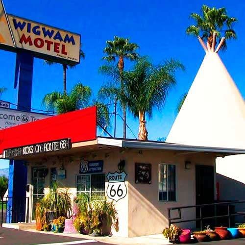
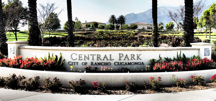
Spanish Missionaries from Mission San Gabriel Arcángel established a church at the village of Politania in 1810. Father Francisco Dumetz named the church San Bernardino on May 20, 1810, after the feast day of St. Bernardino of Siena. The Franciscans also gave the name San Bernardino to the snowcapped peak in Southern California, in honor of the saint and it is from him that the county derives its name. In 1819, they established the San Bernardino de Sena Estancia, a mission farm in what is now Redlands.
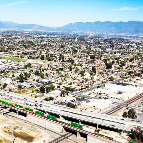
According to the U.S. Census Bureau, the county has a total area of 20,105 square miles (52,070 km2), of which 20,057 square miles (51,950 km2) is land and 48 square miles (120 km2) (0.2%) is water. It is the largest county by area in California and the largest in the United States (excluding boroughs in Alaska). It is slightly larger than the states of New Jersey, Connecticut, Delaware and Rhode Island combined. It borders both Nevada and Arizona.
The 2010 United States Census reported that San Bernardino County had a population of 2,035,210. The racial makeup of San Bernardino County was 1,153,161 (56.7%) White, Hispanic or Latino of any race were 1,001,145 persons (49.2%), 181,862 (8.9%) African American, 22,689 (1.1%) Native American, 128,603 (6.3%) Asian, 6,870 (0.3%) Pacific Islander, 439,661 (21.6%) from other races, and 102,364 (5.0%) from two or more races. Hispanic or Latino of any race were 1,001,145 persons (49.2%).
San Bernardino County is a county in which candidates from both major political parties have won in recent elections. The Democratic Party carried the county in 2008 and 2012, when Barack Obama won majorities of the county’s votes, and in 1992 and 1996, when Bill Clinton won pluralities. Republican George W. Bush took the county in 2000 by a plurality and in 2004 by a majority. The county is split between heavily Latino, middle-class, and Democratic areas and more wealthy conservative areas.
The county operates the San Bernardino County Consolidated Fire District (commonly known as the San Bernardino County Fire Department). The department provides “all-risk” fire, rescue, and emergency medical services to all unincorporated areas in the county except for several areas served by independent fire protection districts, and several cities that chose to contract with the department.

San Bernardino

San Bernardino

Area
Total: 59.645 sq mi
Land: 59.201 sq mi
Water: 0.444 sq mi

Population (2010)
Total: 209,924
Density: 3,500/sq mi

View all listings

Big Bear Lake

Big Bear Lake

Area
Total: 6.534 sq mi
Land: 6.346 sq mi
Water: 0.188 sq mi

Population (2010)
Total: 5,019
Density: 770/sq mi

View all listings

Fontana

Fontana

Area
Total: 42.432 sq mi
Land: 42.432 sq mi
Water: 0 sq mi

Population (2010)
Total: 203,003
Density: 4,800/sq mi

View all listings

Lake Arrowhead

Lake Arrowhead

Area
Total: 18.951 sq mi
Land: 17.727 sq mi
Water: 1.224 sq mi

Population (2010)
Total: 12,424
Density: 660/sq mi

View all listings

Victorville

Victorville

Area
Total: 73.741 sq mi
Land: 73.178 sq mi
Water: 0.563 sq mi

Population (2010)
Total: 115,903
Density: 1,600/sq mi

View all listings

Rancho Cucamonga

Rancho Cucamonga

Area
Total: 39.871 sq mi
Land: 39.851 sq mi
Water: 0.0200 sq mi

Population (2010)
Total: 165,269
Density: 4,100/sq mi

View all listings

Apple Valley

Apple Valley

Area
Total: 73.523 sq mi
Land: 73.193 sq mi
Water: 0.330 sq mi

Population (2010)
Total: 69,135
Density: 940/sq mi

View all listings

Ontario

Ontario

Area
Total: 50.006 sq mi
Land: 49.941 sq mi
Water: 0.065 sq mi

Population (2010)
Total: 166,866
Density: 3,300/sq mi

View all listings

Hesperia

Hesperia

Area
Total: 73.209 sq mi
Land: 73.096 sq mi
Water: 0.113 sq mi

Population (2010)
Total: 90,173
Density: 1,200/sq mi

View all listings

Chino Hills

Chino Hills

Area
Total: 44.749 sq mi
Land: 44.681 sq mi
Water: 0.068 sq mi

Population (2010)
Total: 74,799
Density: 1,700/sq mi

View all listings

Redlands

Redlands

Area
Total: 36.427 sq mi
Land: 36.126 sq mi
Water: 0.301 sq mi

Population (2010)
Total: 68,747
Density: 1,900/sq mi

View all listings

Chino

Chino

Area
Total: 29.652 sq mi
Land: 29.639 sq mi
Water: 0,013 sq mi

Population (2010)
Total: 77,983
Density: 2,600/sq mi

View all listings

Yucca Valley

Yucca Valley

Area
Total: 40.015 sq mi
Land: 40.015 sq mi
Water: 0 sq mi

Population (2010)
Total: 20,700
Density: 520/sq mi

View all listings

Rialto

Rialto

Area
Total: 22.365 sq mi
Land: 22.351 sq mi
Water: 0.014 sq mi

Population (2010)
Total: 99,171
Density: 4,400/sq mi

View all listings

Yucaipa

Yucaipa

Area
Total: 27.893 sq mi
Land: 27.888 sq mi
Water: 0.005 sq mi

Population (2010)
Total: 51,367
Density: 1,800/sq mi

View all listings

Upland

Upland

Area
Total: 15.651 sq mi
Land: 15.617 sq mi
Water: 0.034 sq mi

Population (2010)
Total: 73,732
Density: 4,700/sq mi

View all listings

Twentynine Palms

Highland

Area
Total: 59.143 sq mi
Land: 59.143 sq mi
Water: 0 sq mi

Population (2010)
Total: 25,768
Density: 440/sq mi

View all listings

Highland

Highland

Area
Total: 18.890 sq mi
Land: 18.755 sq mi
Water: 0.135 sq mi

Population (2010)
Total: 53,014
Density: 2,800/sq mi

View all listings

Crestline

Crestline

Area
Total: 13.979 sq mi
Land: 13.839 sq mi
Water: 0.140 sq mi

Population (2010)
Total: 10,770
Density: 770/sq mi

View all listings

Colton

Colton

Area
Total: 16.039 sq mi
Land: 15.324 sq mi
Water: 0.715 sq mi

Population (2010)
Total: 52,154
Density: 3,300/sq mi

View all listings